Welcome To The Himalayan Geo Technologies Pvt. Ltd.
Welcome To The Himalayan Geo Technologies Pvt. Ltd.

This unit is the part of GIS Team which is well – trained for any kind of GPS and DGPS Survey with various equipments as per the client requirements.

Himalayan Geo Technologies Pvt. Ltd. provides a team of well – educated Surveyors for any kind of Consumer Survey. This team has good experience in any kind of consumer survey in any terrain, Urban, Rural and Slum Area.

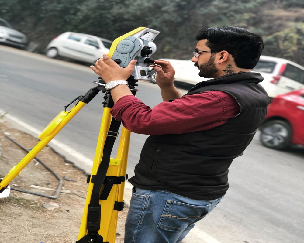
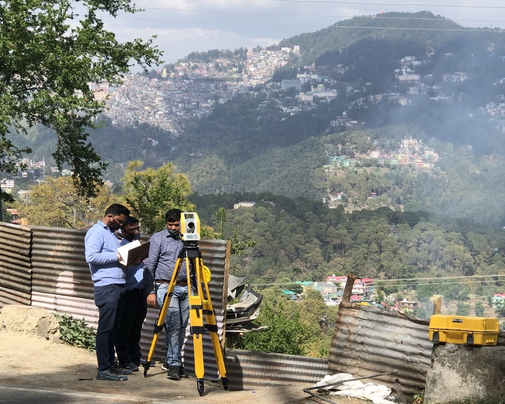
Himalayan Geo Technologies Pvt. Ltd. has its own contouring equipments e.g. Total Station with well-educated, experienced team for Contouring Survey belongs to any terrain.

Himalayan Geo Technologies Pvt. Ltd. provides drone survey facilities for Aerial Images, Topographic Data, 3D Modeling, Contouring Lines and Cartography etc.

Utility services need an extensive accurate survey for long term planning. We are experienced in undertaking HT and LT survey and identification of other over-ground and underground asset surveys.

Himalayan Geo Technologies Pvt. Ltd. provides services for Property Tax Survey as per the client requirements